So what is this with Sumas Mountain? Of course living in the SW corner of B.C., right up against our neighbours in Washington you had better know which one you are talking about because where we were today just east of Abbotsford is one of the Sumas Mountains and then just across the border in Washington is the other Sumas Mountain.
In days of yore the local Indian tribes roamed freely in this area, there was no border crossings as such and even when the Hudson’s Bay Company arrived on the scene in the early 1800’s they controlled what is today the State of Washington and all of what is now British Columbia so there was complete freedom of movement.
So, it is not surprising that the word “SUMAS” is a word from the local native Halqemeylem tribe meaning “big level opening”.
And that is precisely what we saw today, the flat land known as Sumas Prairie is bracketed between the two Sumas Mountains.
We drove through the lower mainland up Hwy 1 and soon we saw the BC Sumas Mountain. We have been there quite a few times before but didn’t expect to find the snow drifts at the summit, after all it is the first week in May and we are well into our spring season but this year spring is different.
We exited the highway and found Sumas Mountain Road. This takes us up and over the lower parts of the mountain and then we see the signpost to the Regional Park. This park is jointly administered by Metro Vancouver and the Fraser Valley Regional District and they have done an excellent job with its upkeep.
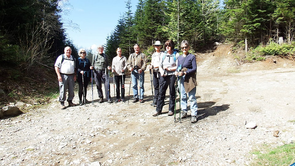
We drive up a dirt road past the lower car park which is used primarily by the Mountain Bikers and after 5 Km we see the signpost for the upper car park, perfect this is where we will start the hike. The view to the north is right over Dewdney Prairie and today with the wonderful clear weather we had an unobstructed view. The hike to the top of Sumas Mountain is via a forest service road. Normally we incorporate this hike with a trip to Chadsey Lake but with so much recent rain it probably would be very muddy.
On the way to the top we had glimpses of the flat lands below but we knew that as soon as we reached the lookouts it would be much better. As we neared the summit the huge antenna towers came into view. From previous trips we had these towers as markers for the viewpoints.
Around the base of the towers we saw snow and as we dropped down the ridge we saw quite a few snowdrifts. We tried to cross over them and most of us sunk knee deep into them. One by one we crossed over and made it to a superb outlook. The views over the prairie all the way to the Cascade mountains were exceptional.
At 900 M high we were like Eagles looking down onto nearby Chilliwack and remembering the various places we had all been to. Over the valley we saw other mountains we might hike up this summer season. This was a great place to take refreshments.
But there is another and maybe better lookout close by. We tried to find it but ran into major snow drifts. The sun had not had time to melt them and it is still quite cold in the shade so unfortunately we had to abort, too bad but we had no idea there would be so much snow this late in the year.
We retraced our footsteps back down to the car park and arrived back in lovely sunshine. It turned out to be a short hike but nonetheless a very enjoyable one.