How many times have you taken a walk down memory lane?
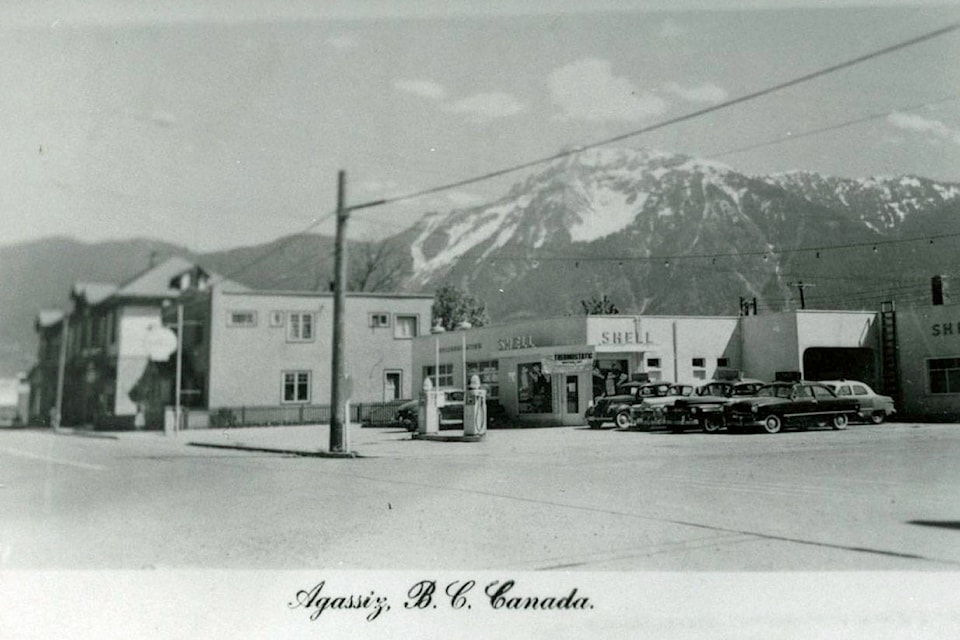
Agassiz resident Harvey Andrew shared his mental map of Pioneer Avenue, outlining what has changed and what hasn’t since he was here in the 1960s and 1970s.
From Burgess Feeds by the train tracks to the Cherry Cafe on the corner of Park Street and Pioneer Avenue, follow along with Andrew as he outlines some notable features in his hand-drawn map. (Click on the tags to see some photos from the Agassiz-Harrison Historical Society.)
Have memories of your own you want to share? Give us a shout at news@ahobserver.com.
Want to read more about the history of the District of Kent for its 125th anniversary? Check out agassizharrisonobserver.com/tag/kent-125/.
news@ahobserver.com
Like us on Facebook and follow us on Twitter