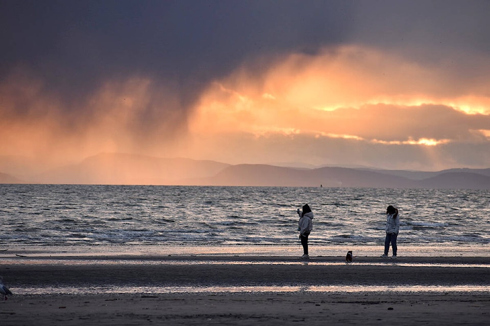
The Fraser Valley’s weather forecast next week is defined by some mid-week sunshine, surrounded by bouts of rain.
Today (April 3) will have periods of rain, beginning around noon. Increasingly strong winds blowing in from the south will start at 20 kilometres an hour, before hitting 40 to 60 kilometres an hour by early afternoon.
The wind will keep up, and the rains will turn heavy by nightfall, with wet snow expected at higher elevations. Temperatures will hover between 9 and 7 C.
Monday’s forecast is cloudy with a 60 per cent chance of showers throughout the day and night. The wind speeds will stay at 40 to 60 kilometres an hour, and temperatures will hang between 7 and 5 C.
There is a chance of sun, showers and clouds on Tuesday as temperatures start to increase mid-week. There is a 60 per cent chance of showers in the morning, with highs of 11 C during the day, before dropping to 0 C amid a cloudless, clear night.
Wednesday’s forecast has the best weather of the week, with clear sunny skies and temperatures hitting 15 C. Some clouds will roll in at night, and temperatures will drop to 6 C.
The sun and warm temperature are expected to remain for Thursday, but so are the clouds. The forecast calls for a high of 16 C. Periods of rain are expected to occur overnight, with lows of 6 C.
Friday’s forecast has a 70 per cent chance of showers, and highs of 12 C. The night will have lows of 2 C, and a 60 per cent chance of showers.
Saturday is expected to be cloudy, with a high of 13 C.
RELATED: Rainfall warning in effect for Lower Mainland
@portmoodypigeon
patrick.penner@missioncityrecord.com
Like us on Facebook and follow us on Twitter.