While the combination of high snowpack, warm weather and a heavy rainfall has led to a worst-case flooding scenario in the B.C. interior, the Lower Mainland is left waiting to see just how high the Fraser River will get.
The head of the B.C. River Forecast Centre said Monday there is a bit of uncertainty over the next week regarding snow melt and what impact that will have on various rivers in the province.
David Campbell pointed to concern over the last three weeks with temperatures six degrees above normal, and a forecast for the next week of temperatures at between eight and 12 degrees Celsius above normal for this time of year.
“Without a doubt this is an extreme weather event,” Campbell said in a media conference call Monday.
“Weather over the next period is going to be critical for how the situation plays out.”
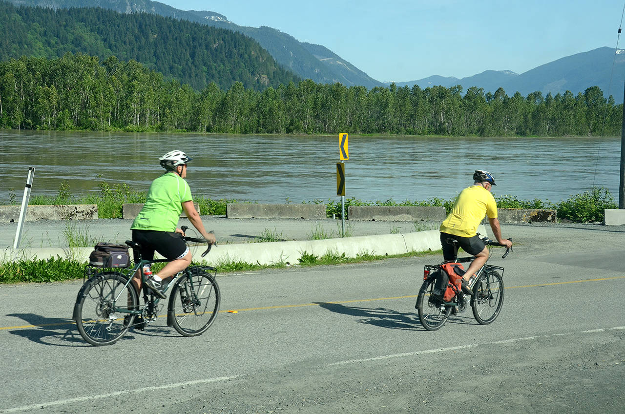
By noon on Monday, the river at Hope was running at about 9,800 cubic metres per second (m3/s), up from 9,000 m3/s on Friday. That’s expected to surpass 12,000 m3/s by the end of the long weekend.
• READ MORE: Fraser Valley in wait-and-see mode for flood risk from freshet
That flow on Monday translates to 5.4 metres on the Mission gauge, a number expected to rise to 6.5 metres by next week.
The Mission gauge is used by the City of Chilliwack and other communities to monitor river levels. The 5.5-metre mark signals “bank full conditions.”
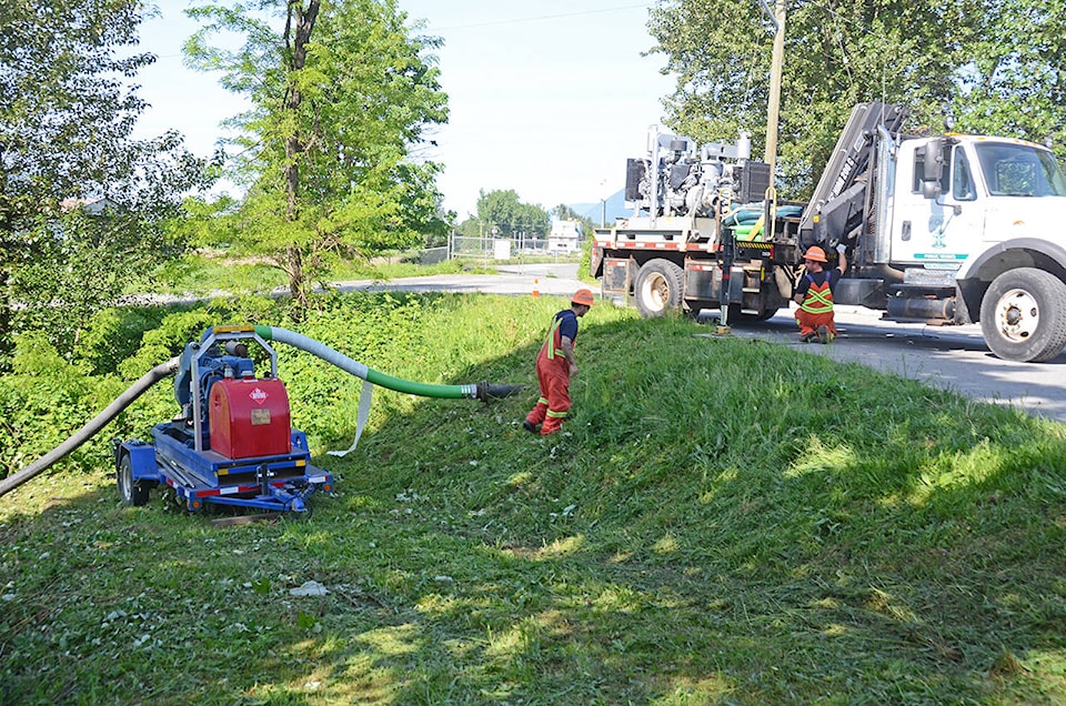
The City of Chilliwack’s Fraser River Flood Response Plan is based on water levels relative to the dike system as well as readings from the Mission Gauge, and at “bank full” the city begins regular dike patrols, and emergency operations centres may be established to co-ordinate flood fighting activities.
The provincial government said last week it was encouraging local governments and First Nations communities along the lower Fraser River to prepare for potential flooding,
“The lower Fraser has not seen this combination of weather conditions – including high temperatures, snow melt and riverflow – for a number of years,” according to the Ministry of Public Safety and Solicitor General.
An evacuation alert was issued by the City of Chilliwack last Wednesday for six properties at Carey Point, an area outside the city’s dike system.
• READ MORE: City of Chilliwack issues evacuation alert to properties outside dike
The City said the move was precautionary, noting that conditions can change rapidly during the spring freshet. Residents in the alert area are being contacted by city officials.
The City is recommending they be prepared to leave the area on short notice, and director of engineering David Blain said Friday the residents have been provided with sandbags.
As some communities, such as Grand Forks, are experiencing extreme flooding, some people have evoked the massive flood of 1948, which devastated Chilliwack.
Blain said, however, that not only is that level of water not forecast to come down the Fraser, but the city’s diking infrastructure has greatly improved in the 70 years since then.
While even record flows should not affect the city, it’s the areas outside the dike system that are at most risk. Even there, most of the homes should be high enough, according to Blain. Carey Point is certainly at risk, but the 20-or-so homes north of Minter Country Garden on the west side of Young Road have remained unaffected even at the highest water levels in the last 50 years.
Blain said those homes are built high enough that they were unaffected in 2012, and even when the Mission gauge hit seven metres in 1972, those homes remained dry.
The river level is a dynamic situation with many factors playing into it. Continue to visit www.theprogress.com for updates on the water levels on the Fraser River.
• READ MORE: Chilliwack residents outside the dike told to be ready to evacuate (June 2012)
@PeeJayAitch
paul.henderson@theprogress.com
Like us on Facebook and follow us on Twitter.