It’s a small step forward for the emergency evacuation route as local officials await an answer from the province.
In a statement released Friday, Oct. 27, District of Kent Mayor Sylvia Pranger said the recent application for an emergency evacuation route north of Harrison Hot Springs is a concrete step toward making it a reality. The discussion on the secondary evacuation route for the village and residents along Rockwell Drive has been ongoing for decades.
“The establishment of an evacuation route from the north end of Rockwell Drive has been a priority of Council for well over 20 years as public safety is of the utmost importance,” Pranger stated. “We have been meeting with the various provincial ministers over the years and are pleased with the response received during our meetings at this year’s Union of British Columbia Municipalities Convention. This joint application is the first step in the process, and we will continue to have dialogue with neighbouring First Nations communities.”
RELATED: Emergency route application officially submitted: Harrison Mayor
The proposed evacuation route would remove a small amount of land from Sasquatch Provincial Park. The current development of the route is still very much in its infancy, with no funding yet secured and no start date for construction yet determined.
The proposed route would go over existing roads and old railway grades, thereby lessening the potential environmental impact of the road and its construction. It’s meant to be a faster route out of the area for tourists and locals who find themselves at Sasquatch Provincial Park, on Rockwell Drive or in the surrounding area during an emergency.
RELATED: Evacuation route out of Harrison inches forward
Should the application be approved, the district and village of Harrison have agreed that the park boundary should be restored once the evacuation route is in place with ongoing light maintenance expected once construction is complete. Local First Nations communities have suggested installing locked gates to limit access, only opening them when an emergency has been declared.
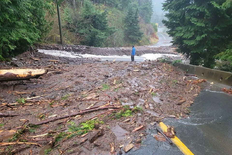
A number of intensifying climate disasters have led the local governments to make a second evacuation route a high priority. These disasters include the destruction of Rockwell Drive in early 2020 due to floods and landslides, the atmospheric river disaster of 2021 and increased wildfire activity in recent years.