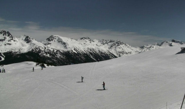
B.C. has near-normal snow levels in the mountains this spring, in sharp contrast to last year's record-low snowpack that contributed to severe drought conditions.
The unusual dearth of snow the previous year was followed by extreme water sprinkling restrictions in the Lower Mainland, as well as angling closures and heightened risk of forest fires across much of the province.
The River Forecast Centre's new bulletin says the Fraser River watershed now averages 96 per cent of normal snowpack, and ranges from about 75 per cent of normal in the upper Fraser to about 113 per cent in the south Thompson. The province-wide average is 91 per cent.
The lowest snowpacks – 50 to 60 per cent normal – are in the far north and in the Skagit watershed near Chilliwack, while the Okanagan has the highest reading at 120 per cent.
RELATED: Vancouver Island water watchers relax as solid snowpack confirmed
The snowpack has held and even grew in most areas in March despite temperatures that ran one to three degrees above normal across southern B.C. and two to four degrees above normal in the Kootenays, central and northern B.C.
But while there's ample snow left, it's suddenly melting off fast.
All stations in the province recorded snow melt over the past week, and officials say the transition from snow accumulation to melt is two to three weeks earlier than usual this spring.
As of early April, virtually all rivers are flowing well above their normal levels for this time of year.
The earlier freshet this spring is expected to mean an earlier peak – when any threat of localized flooding would be highest – as well as an earlier drop to low flows in the summer.
There's an elevated seasonal flood risk in the Okanagan basin in particular, while the risk is rated normal in most other regions, including the lower Fraser from Hope downstream. The Skagit and some northern watersheds may instead face another low-flow summer.
The River Forecast Centre says mid- to low-elevation snowpacks are greatly diminished due to persistent warm weather through the winter.
Snowpack is one factor but officials say weather and the speed of run-off is the key factor that will determine if rivers flood.
“We’re watching out for the warm weather extending, or heavy rain," said River Forecast Centre section head David Campbell.
He noted the levels of lower Fraser tributaries like the Chilliwack, Harrison and North Shore rivers depend more on local rainfall than snowpack.
Seasonal forecasts from Environment Canada are indicating a high likelihood of above-normal temperatures across British Columbia over the April to June period, and an increased chance of warmer than normal temperatures through the extended forecast period into the summer months.
– with files from John McKinley

Blue regions have above average snowpack, yellow and orange areas are below normal. River Forecast Centre map.
